
Evans Neighbors by Source and Date
A block is a bounded research question. The City of Evans overview supplies the river, railroad, municipal, and regional setting, while current GIS and assessor layers describe present parcels. A census schedule, newspaper, directory, tax guide, or Sanborn sheet describes an earlier moment. The same street can have a different number, building, or boundary in each era, so each block result needs a date and evidence label.
| Source | What It Shows About a Block | Access |
|---|---|---|
| Weld GIS Property Portal | Parcels, roads, labels, acreage, section-township-range, map context | Public map viewer |
| Weld assessor report | Owner, mailing city/state, situs, legal description, tax year, history links | Public property search |
| Colorado voter lookup | Public voter fields when a match is returned | State lookup with confidentiality limits |
| WCMI and directories | Historic names, street listings, household and census clues | Online descriptions and repository follow-up |
| Sanborn and city maps | Buildings, uses, streets, materials, city-limit context | Online historic sheets and dated maps |
Owner, mailing, and situs fields describe different relationships. An owner may receive mail elsewhere. A directory may list an occupant without proving ownership. A voter entry may be public while a confidential voter is excluded. The safest Evans block result says exactly which role a source supports.
Note: Date the block and label each source relationship so a parcel, occupant clue, civic event, and historic map are not merged.
Define an Evans Block With GIS
Weld GIS supports address searches tied to parcels, point and road address-locator searches, intersection searches, and coordinate search. Its public layers include parcel, owner, parcel label, parcel number, acres, and section-township-range context, along with basemaps, imagery, and an imagery slider. The linked map from an assessor report is more useful than a visual guess because it lets a researcher save the account, legal description, and map date together.
Evans-specific context comes from the city’s 2022 zoning map, street and address locator, current Weld parcel map, election precinct maps, and the Evans Sanborn sheets. Those layers should not be merged into one timeless picture. A current parcel may cover a building that was divided, renumbered, demolished, or outside the historic sheet’s mapped area.
- Address Locator
- Tests a point, road, or intersection address against the map.
- Coordinate Search
- Places latitude and longitude on the map for nearby parcel context.
- Parcel labels
- Provides parcel, owner, number, or acreage context when a label is available.
- STR layer
- Connects a legal location to section, township, and range information.
Note: Preserve the GIS map date and selected layers because a current parcel view cannot automatically describe an older Evans block.
From One Evans Address to Parcels
The adjacent-parcel method keeps an Evans neighbor search tied to geography. It also makes room for vacant parcels, alleys, waterways, railroad corridors, and cross-street relationships that a simple name search would miss. For a construction or land-use question, the city’s building and renovation guidance identifies a separate permit and inspection layer.
- Establish the target account, situs address, legal description, and current report date in the Weld assessor portal. A building-permit application route may explain a later structure or improvement.
- Open the linked map and save the GIS map date. Identify parcels north, south, east, west, across the street, and at the rear boundary.
- Run each parcel by account or parcel number first, then use address or owner search if the map label is clear.
- Record owner, mailing city/state, property address, subdivision, block, lot, acreage, tax year, and document-history reception links.
- Use the recorder for grantor, grantee, legal-description, and reception-number checks, then compare a historic year with directories, newspapers, or Sanborn. The city’s planning and development route covers zoning, annexation, subdivision, and site-plan questions.
For a whole named street, the Evans street directory offers the broader address chain. Block work stays close to the target parcel and its immediate surroundings.
Build a Dated Evans Block Table
A block table is safer and more useful than a list of names. It can show the target, adjacent parcel or account, street side or cross street, source date, public owner field, mailing city and state, historic directory hit, deed reception or date, tax or foreclosure notice, zoning or land-use label, map source, and confidence. Personal details that do not answer the parcel question should stay out.
| Target or adjacent location | Parcel and source date | Evidence relationship | Follow-up |
|---|---|---|---|
| Target address | Assessor account and GIS date | Current parcel, owner, mailing city/state | Recorder history |
| North, east, south, or west parcel | GIS-selected account and map date | Parcel and public owner field | Directory, tax, or deed check |
| Historic same block | Directory, census, or map year | Listed residence, business, or structure | Newspaper or archive review |
| Event-linked address | Official event date | Party, applicant, or public notice role | Request the underlying file |
Label every row as current, historic, agency, business, or uncertain. “Nearby” is a map relationship. It is not automatically a household relationship, and a record about an owner, notice party, or business cannot be rewritten as proof of residence.
Evans Neighborhood Programs
Evans Neighborhood Services is a city program, not a public association roster. Its categories include inoperable vehicles, trash or junk or outside storage, tall or noxious weeds, hazardous trees, brush, dirt or debris, snow on sidewalks, fence maintenance, and graffiti. An address-linked report may explain a civic issue, but it does not identify the person who occupied a property or caused a condition.
The Evans Neighborhood Services page provides the official program route and a contact path at 970-475-1166. The Evans commissions and boards page supplies public appointment and meeting context. The city’s police forms and resources provide a separate records and report route. Neither page provides a public member directory for Evans households.
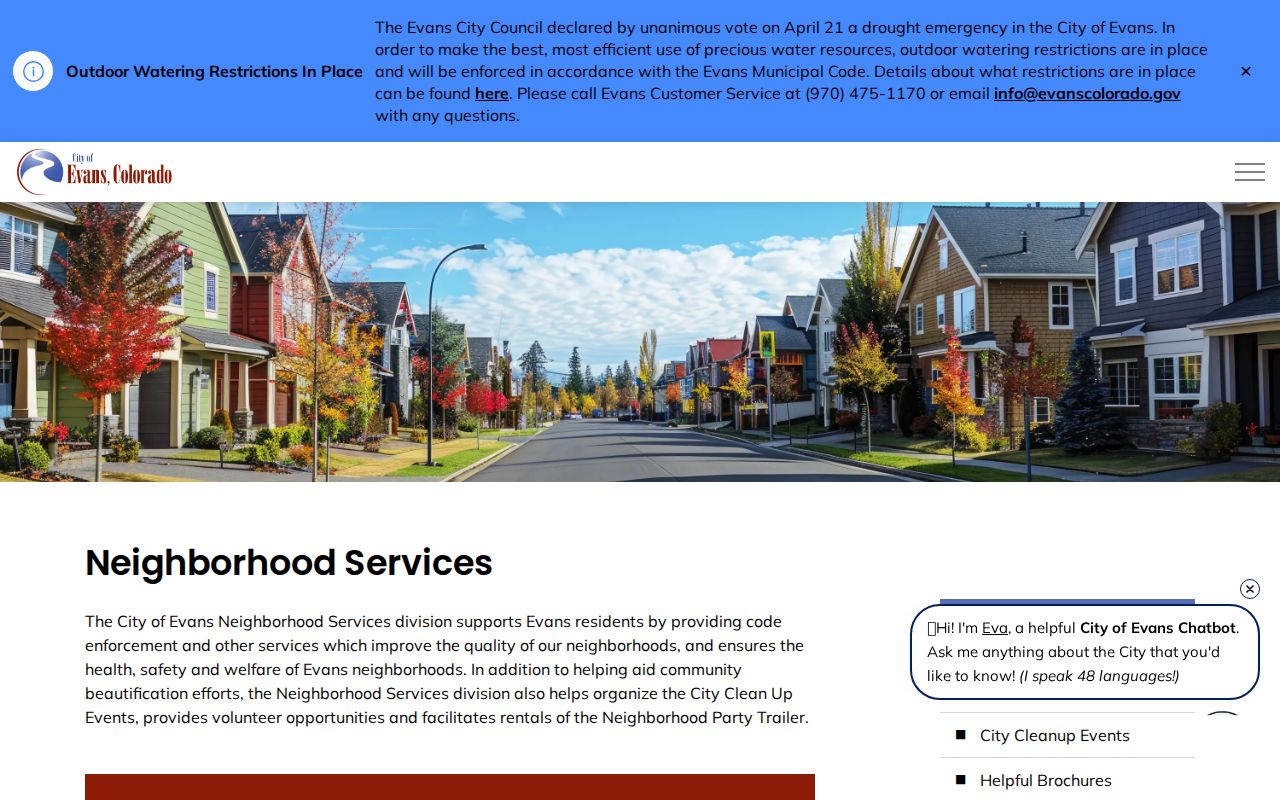
The Neighborhood Services screenshot shows a city contact and program route. It should be read as civic access information, not as a list of nearby people.
Neighborhood Watch has a city contact through Teresa McClatchey at 970-590-1504 and tmcclatchey@evanscolorado.gov. The Evans commissions and boards page supplies the public civic context for the image below. The city’s business and sales-tax license route is a filing channel, not a household roster. No public member list was located. Use that program for community context or a safe city contact, never as a substitute resident index.
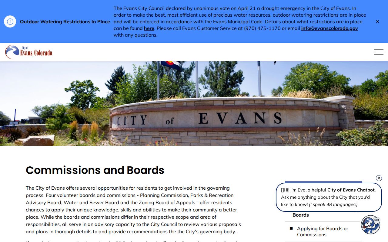
The boards image adds the public meeting layer. Public appointments or minutes may connect a name to a civic issue, but they do not define the households on a block.
Note: A civic contact or meeting record supplies public context, not a membership roster or proof that someone lives nearby.
Historic Evans Blocks on Maps
Historic households are reconstructed from a street listing, census enumeration district, tax guide, newspaper description, Research Center map, or Sanborn sheet. The WCMI descriptions cover the 1866 and 1870 census, 1880 and 1885 schedules, 1900 and 1910 indexes, and a 1930 index with legibility warnings. A same block can appear under a new number, spouse’s name, business name, or township reference.
Evans has an unusually useful Sanborn sequence: April 1904, October 1909, and November 1921. The sheets show structures, uses, materials, street geometry, and sometimes hydrants. They do not list ordinary resident names. Use a map to test the physical setting, then use a directory or newspaper for the person connection. The city zoning map is dated 2022, so current municipal limits should be checked in current GIS.
Postal and Municipal Edges
Evans, Greeley, Garden City, La Salle, and unincorporated Weld locations can be close, share newspaper coverage, or carry a postal label that does not match the municipal line. The 2001 USPS realignment moved former Greeley 80634 delivery territory to Evans 80620. That is a useful date clue for historic blocks, but it does not redraw a parcel or prove that a person moved.
Keep postal city, municipality, county, parcel location, and source date as separate fields. If an old address seems impossible, check the Evans street locator for suffixes, odd or even sides, and discontinuous ranges. Then test the legal description or GIS road and intersection search. Do not back-project today’s parcel edge into a 1904 or 1921 map.
Official Rolls Versus Compiled Search Tools
Official sources and commercial compiled tools answer different questions. A Weld parcel report is tied to an account and custodian. A city program page is tied to a public service. The Evans Municipal Court page is a separate route for city case information. A directory or census scan has a source year. A compiled search product may combine public and third-party data with a different update cycle. The comparison below keeps the record relationship visible.
| Source category | Strength | Limit |
|---|---|---|
| Weld GIS and assessor | Parcel, situs, public owner and mailing context | Current owner is not the same as every occupant |
| Recorder index | Recorded parties, dates, document types, reception numbers | Index is not the full instrument or proof of residence |
| Directories, census, newspapers | Dated household, street, event, and name clues | Coverage gaps, spelling changes, and historic limits |
| Compiled search tools | May combine several source categories in one interface | Source dates and relationships need independent verification |
Note: Compiled search results are leads only; verify the named relationship, source date, and underlying custodian before relying on them.
Privacy Limits for Evans Neighbors
Public does not mean unrestricted reproduction. Colorado voter records with public fields are different from confidential voter records. Confidential voters and Address Confidentiality Program participants are excluded or protected; the Colorado ACP rule explains that protection, and HB25-1195 extends address confidentiality to qualifying first responders and spouses. Court policy, vital-record rules, the Driver’s Privacy Protection Act, and agency redactions also limit what can be copied.
Do not publish full mailing addresses, certificate fields, signatures, ID numbers, medical details, or confidential voter information when a city or state description answers the question. A missing name or generalized address may be a deliberate safety control. If a person or agency asks for a correction or suppression, use the proper custodian route rather than searching for a substitute address.
Lawful use. Evans block research is for knowing a block, family history, reconnecting, civic curiosity, and personal safety awareness. Never use a record trail to watch, harass, threaten, intimidate, or expose a protected person.
Record the map date, source date, relationship, and confidence. A bounded result such as “the 1921 Sanborn sheet shows a structure on the adjacent frontage” is stronger than an unsupported claim about who lived there. If a person is not located, say so plainly and request the underlying record from the custodian when a lawful need exists.